Sea Witch parade canceled as Delaware faces first nor'easter of the season
 Maddy Lauria
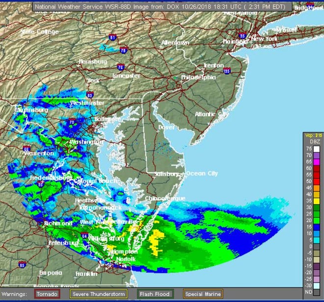
The risk of coastal flooding this weekend has increased for southern Delaware as the region braces for the first nor'easter of the season.
Here's what you need to know:
Advancing storm triggers flood watch
Forecasters with the National Weather Service said that as the storm gets closer, their confidence increased that some areas, including along the Delaware Bay and ocean beaches, will likely experience coastal flooding as the storm hits the area later today or tonight.
Kent and Sussex counties are under a coastal flood warning until 3 p.m. Saturday. A coastal flood advisory was extended to New Castle County late Friday afternoon.

Flood risk rides the tide
Alex Staarmann, a meteorologist with the weather service in Mount Holly, New Jersey, said the highest risk of coastal flooding will come with the first high tide tomorrow, around 10-11 a.m., depending on the location.
As for the strongest rain and wind, most people will be asleep when those arrive, he said.
"By daybreak, the bulk of the rain should be gone to the north," he said. "It's going to be a high impact storm, but nothing way out of the ordinary for this area."
Rain, wind start in Sussex
Staarmann said southern Delaware could see the start of rainfall as early as this afternoon. The state is not expected to see more than 1 to 2 inches of rain.

Strong wind could result in some isolated power outages. Sustained winds are expected to be around 25 mph, with gusts along the coast reaching more than 40 mph. Staarmann said areas north of Delaware, such as the northern coast of New Jersey, could see much higher gusts, where forecasts expect speeds to reach up to 60 mph.
The good news is that the rain shouldn't last long. Forecasts show the downpour starting Friday night and lasting through mid-day Saturday before tapering off. That means the deluge will come during two tide cycles.
Sea Witch parade canceled
One of southern Delaware's largest fall attractions has already fallen victim to the strong winds of the impending storm.
The annual Sea Witch Festival costume parade set for Saturday was canceled Friday afternoon. Organizers cited safety concerns associated with high winds as the reason for canceling. There is no rain date for the parade.
Many other Sea Witch Festival events will go on. Go to www.beach-fun.com for more details.
The storm has forced the cancellation of several other events throughout the state this weekend, including Delaware State University's homecoming parade.
The Rehoboth Beach-Dewey Beach Chamber of Commerce posted on social media that the storm also has forced cancellations of Rehoboth Bandstand entertainment and the Haunted Beach and Bonfire in Dewey Beach. The Dewey Beach trick or treat has been moved up to 5-7 p.m.
Nor'easter could cancel Halloween events
Storm length, shift in wind good news
While the storm may bring some coastal flooding to Delaware, it could be worse.
The northeasterly winds associated with this type of coastal storm will turn southwesterly and provide a reprieve from more serious flood risks. Instead of piling water up tide cycle after tide cycle, as could be seen during a stubborn nor'easter in October 2015 that pounded the region over six high tides, that wind direction shift will allow waters to recede.

Because the storm will impact Delaware for less than 24 hours, not much beach erosion or serious, damaging flooding is expected, said Michael Powell, administrator of the Delaware Department of Natural Resources and Environmental Control's Shoreline and Waterway Management Section.
"If the storm starts to enter Delaware on Friday and departs on Saturday, that's typically not long enough for a moderate storm like this to raise the water levels," he said.
If wind gusts reach more than 40 mph along the coast, that could mean some significant wave action — which will be great news for local surfers, but could shift sand around more than currently expected.
Ocean waves could reach up to 10 feet in height during the storm, according to the National Weather Service.
Powell said he will assess any damage after the storm moves out of the area.
Helloooo, nor'easter season
This storm is just the start of the region's nor'easter season, which lasts through spring. During an average year, Delaware sees more than 30 coastal storms, including high-impact nor'easters.
Temperatures this weekend will reach a high of 58 degrees on Saturday and Sunday in the Wilmington area, with overnight lows in the mid-40s, according to the weather service forecast.
In Rehoboth Beach, temperatures could reach a high of 65 degrees on Saturday and 61 on Sunday with overnight lows around 50 degrees. The forecast is similar for Dover.
Sunday is expected be a partially sunny day statewide, followed by another chance of rain Sunday night and Monday.
For updated and localized forecasts, go to weather.gov.
Contact reporter Maddy Lauria at (302) 345-0608, mlauria@delawareonline.com or on Twitter @MaddyinMilford.
DELAWARE'S TOP NEWS
The Newark man whose overdose death prompted a federal drug indictment
Delaware restaurant owner bites back at negative Yelp reviewers
Vaughn prison counselor held hostage describes 'beautiful moments'